Fire · Wind · Water · Earth
See it first
Wildfire, tornado, flood, hurricane — they all begin somewhere nobody is watching. We are a nonprofit building the sensing, software and aircraft that get there first.
Chapter 01 — Fire
It starts somewhere nobody is looking.
A fire begins on ground with no camera, no lookout and no crew within an hour's drive. By the time it is reported, it is already worth reporting.
7.6M acres
burned in a single U.S. season
Chapter 02 — Wind
Warning time is measured in minutes.
A town gets minutes, not hours. What happens inside those minutes depends almost entirely on how quickly somebody knew, and how quickly that knowledge moved.
13 minutes
median tornado warning lead time
Chapter 03 — Water
Water arrives faster than the map says.
Flash flooding rewrites a neighbourhood in an afternoon. The crews who have to drive into it are working from a picture of the world that is already out of date.
Hours
for a flash flood to redraw a town
Chapter 04 — Storm
The exceptional year became the normal one.
Billion-dollar events used to be rare enough to name. Now they stack on top of each other, and the same responders are asked to cover more ground with the same hours.
$1B+
disasters, now several dozen a year
Chapter 05 — After
Almost all of the damage happens in the gap.
Between the moment something starts and the moment somebody reliable sees it, there is a window. Close that window and everything downstream gets easier.
The gap
between ignition and information
The scale
It is not a bad year. It is a trend.
Hotter, drier, wetter, windier — depending where you stand. The one thing every version has in common is that the first hour decides how bad the rest of it gets.
Recorded natural disasters worldwide each year
EM-DAT, 2000–2023 average
Annual disaster losses in the United States alone
NOAA billion-dollar disaster record, recent years
Increase in recorded weather-related disasters since the 1970s
World Meteorological Organization
Of the ground that burns has no camera and no lookout nearby
Our own estimate for remote terrain
 01
01Our mission
Nobody is out there.
Fire, flood, wind — the worst of it happens on ground with no camera, no lookout and no crew within an hour. By the time it is reported, it is usually already worth reporting.
 02
02The idea
Put cheap eyes on the ground.
A node is small, quiet and inexpensive enough to leave in the terrain. On its own it means little. In a mesh, a change that several nodes agree on is worth a look.
 03
03The rule
Autonomous, never unsupervised.
The system can watch, fly and read the ground by itself. Whether a mission happens, where it may go and when it stops stays with a person.
Get there before it is big.
Most disasters begin where nobody is watching. We are building sensors that notice, people who check, and an aircraft that goes to look — so responders get a real picture, early. Wildfire is where we start; wind, water and quake are the same problem.
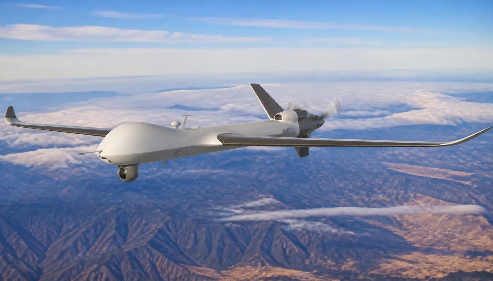
The aircraft
VTOL · thermal + RGB · water payload
Where it starts
Remote ground, no camera, no lookout
What we build
Sensors, ops software and a VTOL aircraft
Who decides
People — every mission is authorized
How it works
Five steps between a spark and a crew that knows.
Low-cost nodes sit out in the terrain and read what is happening around them.
They cross-check each other, so one strange reading is not an alarm.
Where we actually stand.
Where we are
Prototype, in progress.
We describe what exists as built, what is on the bench as prototype and what is ahead as intent. Nothing gets promoted before it is tested.
Development statusCoverage by design
24/7/365
Operations Center staffed around the clock.
Structure
Nonprofit
Mission-driven, built in the open.
On the bench
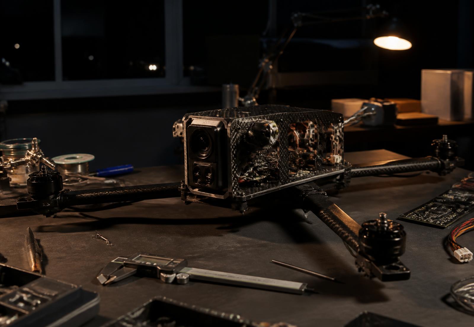
Sensor nodes
Airframe
VTOL
Get involved
Support the work
Help us get there before the fire does.
Every dollar goes into sensors on the ground, hours on the bench and flights that prove the idea.